Charts :
AC 2740, 2049; Imray C61; Irish OS 77 . The Harbour Office/Marina can be contacted on VHF Ch 16/09
Navigation :
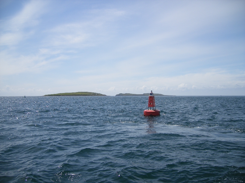
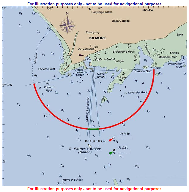
WPT 52° 09’·22N 06° 35’·32W, 187°/007° from/to pierhd lt, 1.0M, on ldg line. Great (57m) and Little (35m) Saltee Islands lie 3m and 1.7M to SSW and S, respectively, of hbr, separated by Saltee Sound. From the E, safest appr initially is via Saltee Sound, then N to WPT. Caution : in bad weather seas break on the Bohurs and The Bore, rks 2M E of Saltee Islands. Beware Goose Rk (2.6m) 6ca NW of Little Saltee. St. Patrick’s Bridge, 650m E of the WPT, is a 300m wide E/W chan used by FVs and yachts, but carrying only 2.4m; care needed in strong onshore winds. It is marked by a PHM buoy, FI R 6s, and a SHM buoy, FI G 6s (Annual); general direction of buoyage is E. From the W, appr is clear but keep at least 5ca off Forlorn Pt to avoid Forlorn Rk (1.5m).
Lights and Marks :
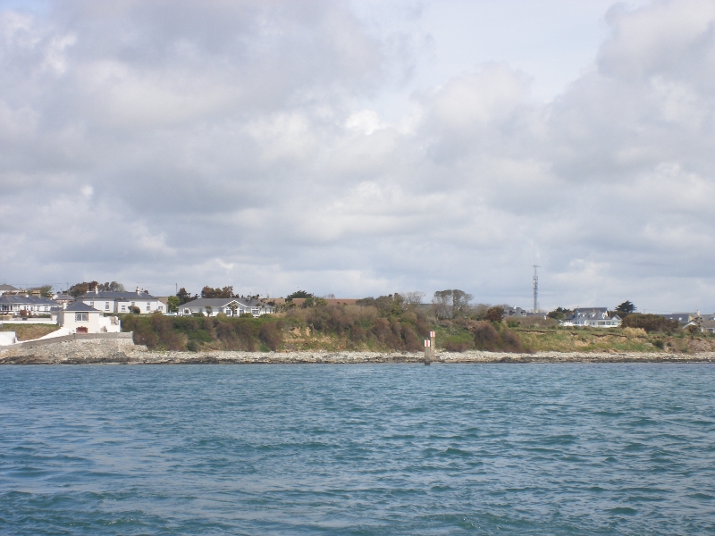
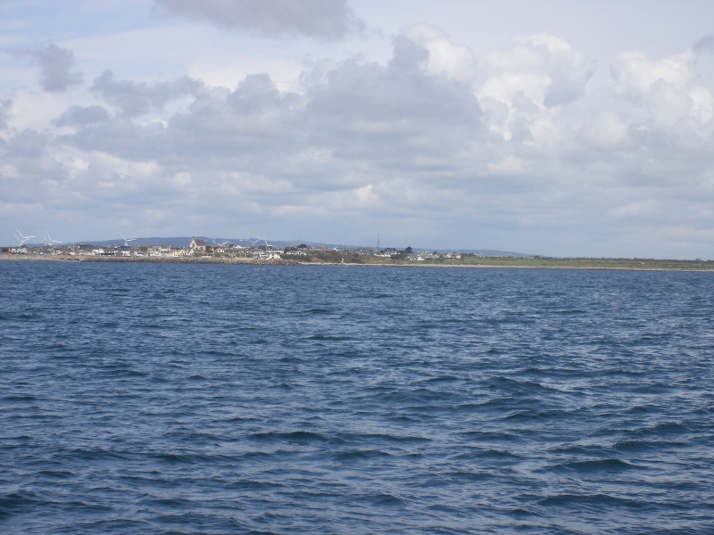
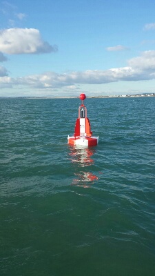
Ldg Its/marks, both Oc 4s 3m/6m 6M, W pylons with R stripe, lead 008° to the hbr. From W, ldg Its are obsc’d by piers until S of hbr ent. Turn 90° port into hbr entrance, just past lt QRG at head of W Quay; do not overshoot into shoal water ahead. The R sectors of this lt, QRG 7m 5M, R269° -354°, G354° -003°, R003° -007°, warn of Forlorn Rock and the Lings to W of the leg line and shingle banks drying 0.6m close E of the ldg line. A white-gabled church is conspic from afar, as are two 20m high flood lt pylons on the E quay, an ice plant is located adjacent to these floodlights. A safe water mark is stationed in position 52° 09’·22N 006°35’·31W white ISO 10s light.
Tidal & Weather Information
Tidal information for Kilmore Quay is referenced to Cobh (standard port) + 15mins for accuracy.
Live Weather Information for Kilmore Quay.
2026 Tidal Predictions for Kilmore Quay
Best information
Macmillian Reeds Nautical Almanac (Current Edition)
Current Notices To Mariners
Notice to Mariners No.3 of 2026
Marine Traffic Management through Barrow Railway Bridge
Notice to Mariners No.2 of 2026
Changes in depths at Piers and Harbours due to environmental conditions
Notice to Mariners No.17 of 2025
Removal of Buoyage on lower approaches to Wexford Harbour
Notice to Mariners No.05 of 2024
Uncharted obstruction possibly a Rock
